-50%
Map of Michigan, 1855 Print Online now
Original price was: $35.00.$17.50Current price is: $17.50.
30 people are viewing this right now
Guaranteed safe & secure checkout
Description
Additional Information
Questions
Description
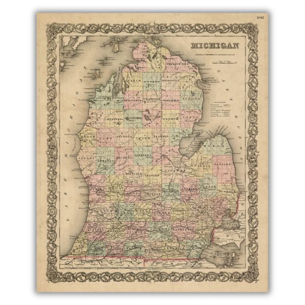
Despite this 1855 map depicting only the lower peninsula of Michigan, its color, detail, and border illustration do not disappoint. Published by J. H. Colton, the map identifies common roads, towns, railroads, canals, rivers, lakes, and counties. In the top right corner, the map is noted as No. 42, specifying its page number in G. W. Colton s Atlas of the World, Vol. 1, 1855.
Features a historical image from the collections at the Archives of Michigan. Printed on archival velvet paper in Lansing, Michigan.
*Original image dimensions may alter final print size*
Additional Information
| Size | 16"x19.12", 20"x23.90" |
|---|
Related products

Limited Edition The Grayling Print Hot on Sale
Original price was: $140.00.$70.00Current price is: $70.00.
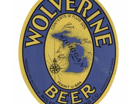
Wolverine Beer Label Print Hot on Sale
Original price was: $20.00.$10.00Current price is: $10.00.
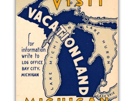
Visit Michigan, Vacationland Print Online
Original price was: $20.00.$10.00Current price is: $10.00.


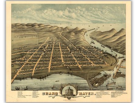
Bird s Eye View of Grand Haven, 1874 Print Sale
Original price was: $45.00.$22.50Current price is: $22.50.
