-50%
Tourist s Pocket Map of Michigan, 1839 Print Discount
Original price was: $35.00.$17.50Current price is: $17.50.
26 people are viewing this right now
Guaranteed safe & secure checkout
Description
Additional Information
Questions
Description
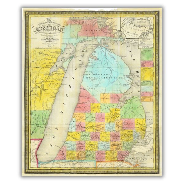
This 1839 Tourist s Pocket Map of Michigan once exhibited more than internal improvements, roads and distances. First published by S. Augustus Mitchell in 1834, the map went through a variety of changes from its original publication date to 1846. It was called a Tourist s Pocket Map as a result of its literal function. It could be folded into a small 12×7.5-inch booklet that could fit into any tourist s pocket; the original is 18×22 inches.
Features a historical image from the collections at the Archives of Michigan. Printed on archival velvet paper in Lansing, Michigan.
*Original image dimensions may alter final print size*
Additional Information
| Size | 16"x19.2", 20"x23.96" |
|---|
Related products
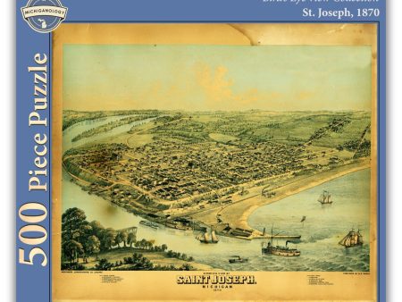
Bird s Eye View of St. Joseph, 500-Piece Puzzle Discount
Original price was: $15.00.$7.50Current price is: $7.50.


Field Notes Birds and Trees of North America Memo Book 3-Pack (A or B packs) Discount
Original price was: $14.95.$7.48Current price is: $7.48.
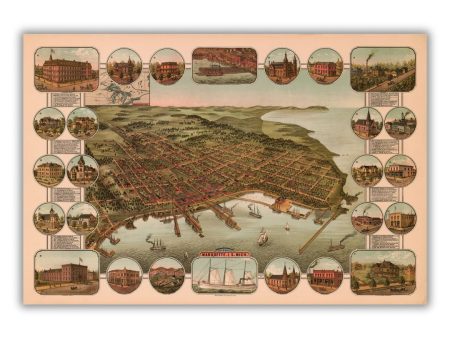
Bird s Eye View of Marquette, 1886 Print Discount
Original price was: $45.00.$22.50Current price is: $22.50.


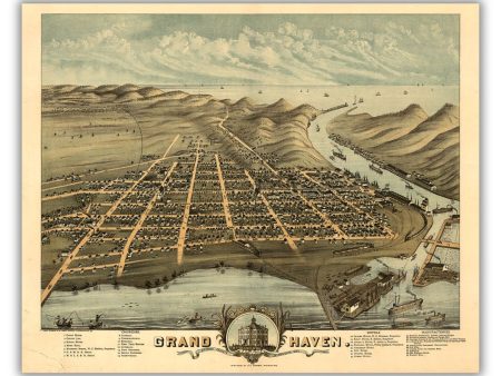
Bird s Eye View of Grand Haven, 1874 Print Sale
Original price was: $45.00.$22.50Current price is: $22.50.
